Saxonville 3D Map
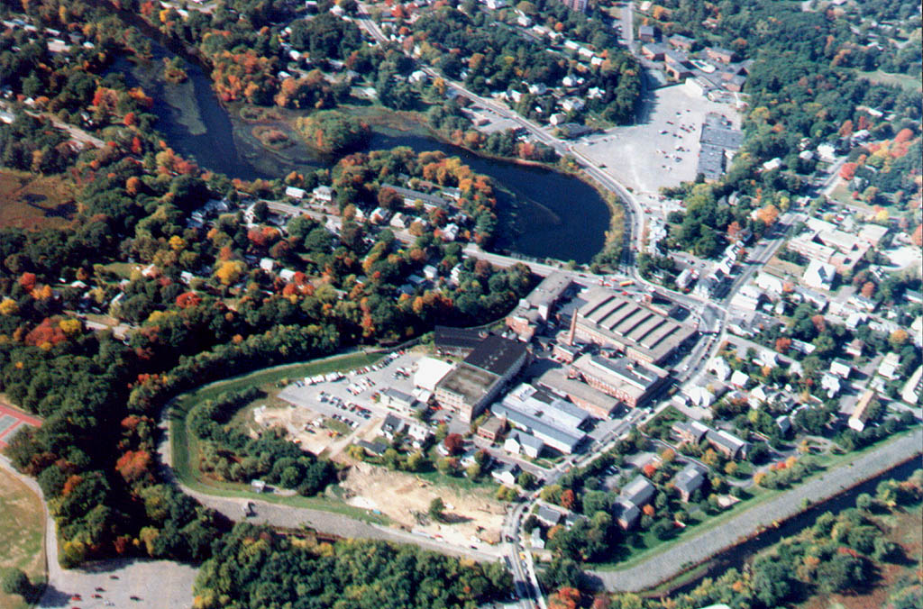
 Saxonville 3D An 1882 3D aerial view of Saxonville. This and other maps of Framingham are available for purchase from the Framingham Historical Society. Note that this view shows the original wooden mill buildings, as it was drawn a year before the fire that destroyed most of them. For comparison, click here for a large image of what Saxonville looks like from the air today.
  Other Choices Historical Walk 1889 Geo. A Walker Map 1882 3D Aerial View Saxonville Nature Trail Back Home
Restored from the Train-Sim.Com archive, captured May 19, 2003. About this archive.